eWaterCycle
Understanding water movement on a global scale is essential for society to predict floods, droughts and the effect of land use on water balance. However, large scale hydrology is difficult because, from a hydrological point of view, every field, every street, and every part of the world is unique. We are able to understand and describe how water moves in these locations at a local scale, but due to the extreme spatial variability it is difficult to capture such processes at a global scale. We call this the curse of locality.
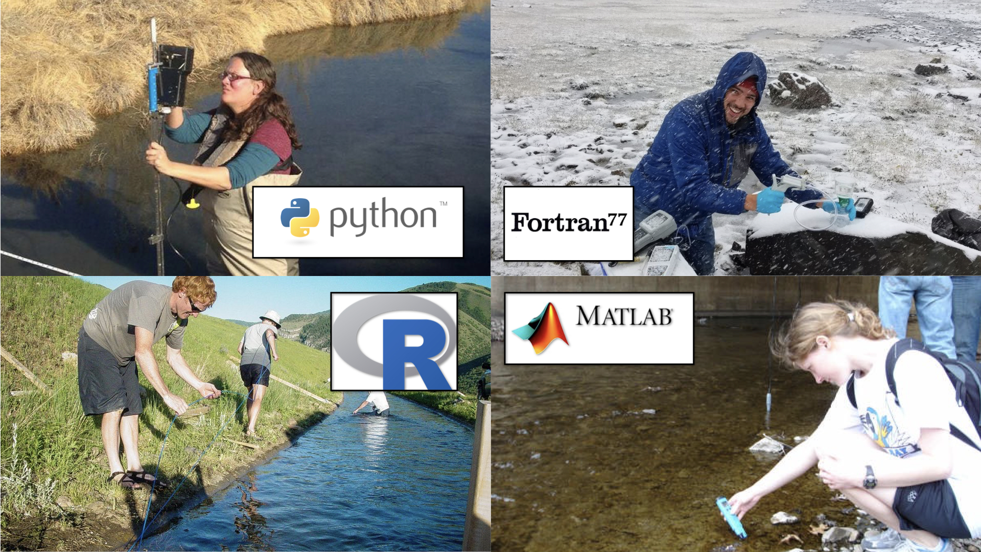
On top of this, existing hydrological models exist in a huge variety of programming languages, standards etc. which limits their re-usability and reproducibility. In the eWaterCycle project, we are developing a framework in which hydrological modellers can work together in a collaborative environment.
To get in touch and signup for our newsletter, please see the contact page
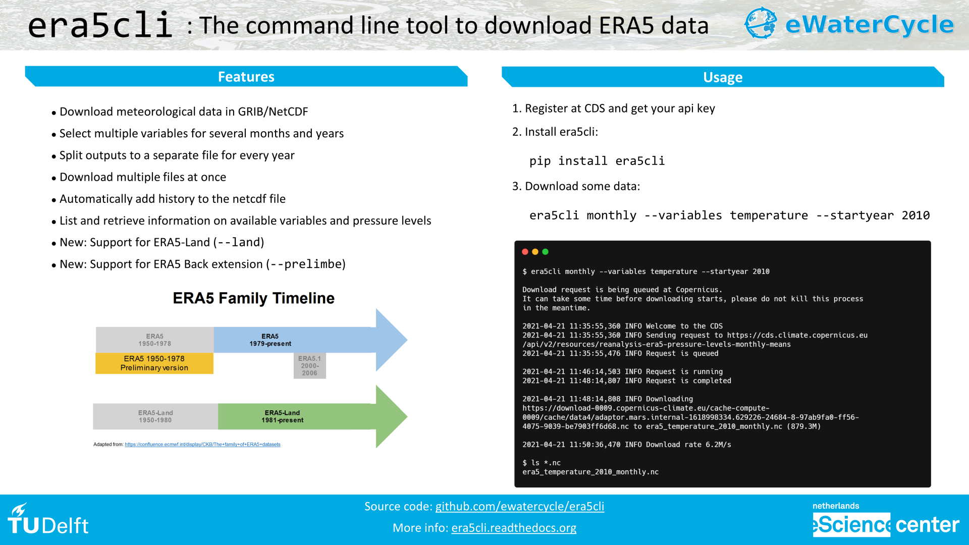
The eWatercycle platform is documented at https://ewatercycle.readthedocs.io/.
Blog posts
-
Nice hydrographs for everyone from everyone, introducing eWaterCycle II
Rolf Hut“Nice hydrographs! Can you now compare your model to ‘that other hydrology groups model’?”
The phd student suppresses the urge to roll her eyes. Her supervisor is asking her to go back into code-hell... Read more